

 |

|

|
|
|||||||
| General Discussion (Everything Else) Discuss anything that doesn't belong in any other forums here. |
 |
|
|
Thread Tools | Display Modes |
|
#1
|
|||
|
|||
|
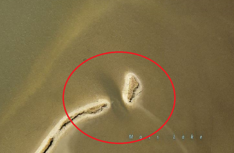
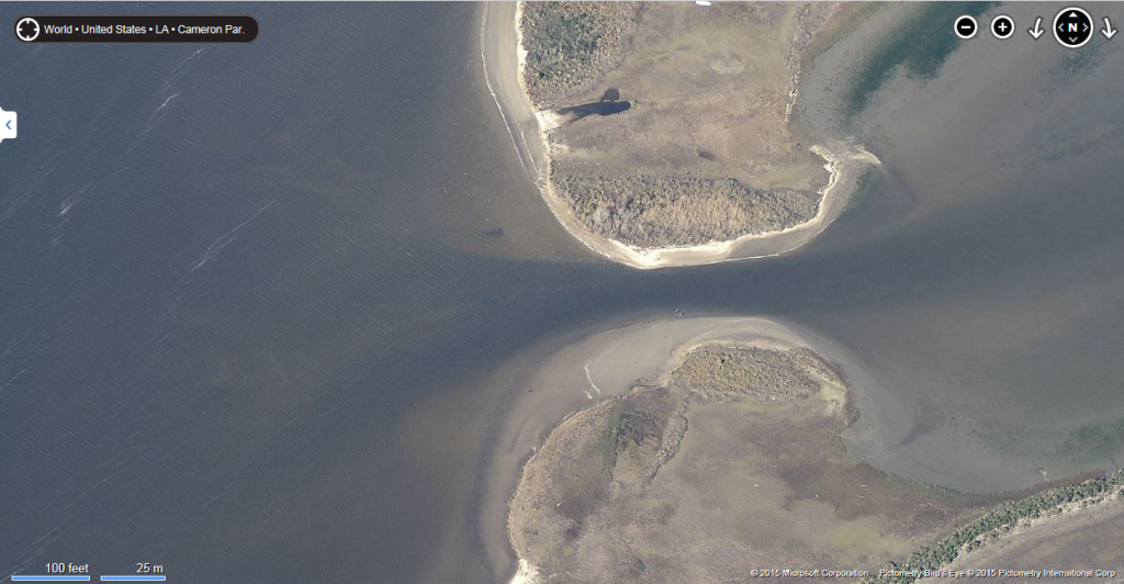
On Bings birds eye view, it gives a shot that's at an angle, and at different levels it will show channels under the water surface. that got me to thinking. Come to find out, the last time I was on BL the reds were stacked up in one of these (unbeknownst to me) channels, found this spot on pure luck, had no idea there was a channel, not until I saw the image on Bing imaging, the tide was coming in, visibly running threw it.  So I got to looking around and hunting for more of these channels, found a few more.  Now with all this said, is this a good theory in finding fish? fishing these "channels" |
|
#2
|
||||
|
||||
|
Not sure about salt water, but for bass fishing I've found spots going this route. Mostly main lake ridges and really visible stuff. If you can adjust time settings to view when the water was lowest or really clear that helps too. Might have to have google earth for that though. For example, I would always fish a big shallow flat and catch fish regularly, but doing this and finding a ditch that ran through the flat, a decent spot turned into an awesome one. I would think a navionics chip would show these channels also?
|
|
#3
|
||||
|
||||
|
yes i know those channels and have produced fish at them especially the one up in Prien lake
|
 |
| Bookmarks |
|
|
